

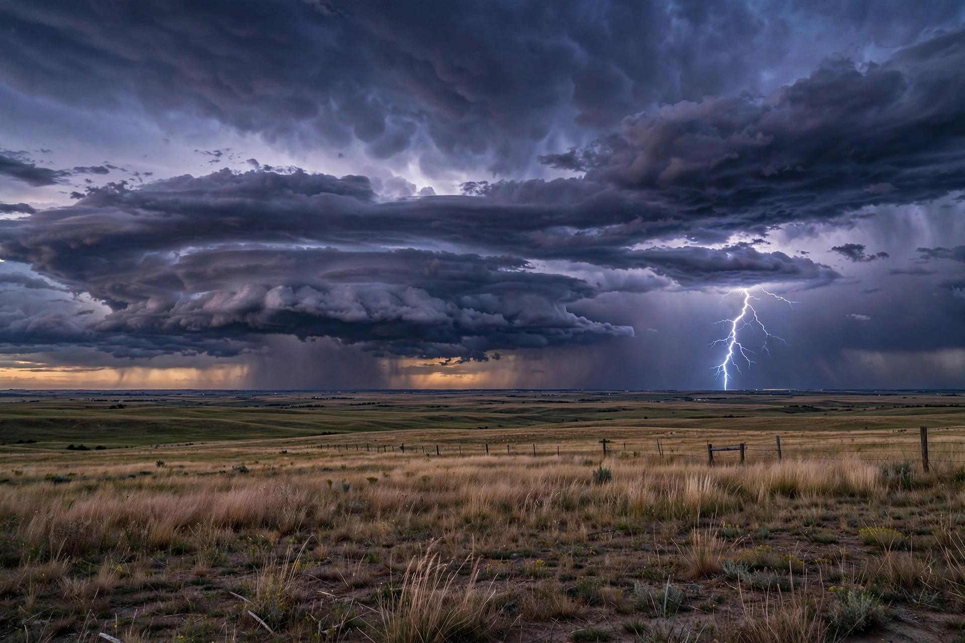
Published: September 27, 2026 — 08:34 UTC
Updated: October 22, 2026 — 22:10 UTC. Corrected alert guidance and terminology; explicitly marked the October 2 outlook as historical. This update does not refresh the dated forecasts or wildfire totals below.
Edited briefing, not a live feed. Material developments reviewed October 2, 2026; each item retains its source date.
US weather news with source dates and geographic limits made explicit. Use this page for a national briefing and official resources; use local authorities for immediate protective decisions.
Historical October 2 outlook: Gulf Coast rain and California heat
Expired forecast periods: The weekend and following-week periods described below have passed. These reports are retained as historical context, not current forecasts or warnings. Check the linked official local alerts for current conditions.
The NWS national overview reviewed October 2 at approximately 19:55 UTC forecast a flooding risk from heavy rain along the northern Gulf Coast and across the Southeast through the October 3–4 weekend. It also forecast unusually high, potentially record temperatures in Southern California, extending toward the Bay Area and Central Valley into the following week. These are regional forecasts, not proof of impacts at every location or a substitute for local warnings.
Source: NWS national overview and current local alerts. The landing-page summary does not supply a separate issue time; the time above records our review.
Previous outlook: The October 1 edition covered Texas/Oklahoma rainfall through October 2 and possible October 1 wind hazards. It is no longer the lead forecast; this change does not declare an all-clear.
Hawaii: previous offshore forecast is historical
The NWS Honolulu map, marked updated October 2 at 9:34:51 a.m. HST (19:34:51 UTC), displayed no watches, warnings or advisories at review. This dated map observation is not an all-clear for every activity or offshore route; consult the latest local and marine products before travel.
Historical context, not a current warning: Our September 27 edition cited a Honolulu offshore forecast issued that day at 5:25 a.m. HST (15:25 UTC), for waters beyond 40 to 240 nautical miles. Its Sunday/Monday hurricane-condition forecast referred to September 27–28. Those forecast periods have passed. We have removed it from the current lead; the earlier coverage did not describe an island-wide land hurricane warning. The September 27 East Coast outlook likewise covered a period ending September 28.
Wildfire snapshot: national totals have a reporting date
NIFC’s October 2 table records 62,738 fires and 9,000,619 acres burned from January 1 through October 2, 2026. The previous September 25 snapshot was 57,087 fires and 8,559,888 acres. These cumulative reports can include reporting changes; their difference is not a measured account of acres burned only during the intervening week. These are year-to-date national totals, not the number of fires burning at this moment. The page states that its report is currently updated on Fridays. Do not use a national weekly total to decide whether a particular road or neighborhood is safe.
Source: National Interagency Fire Center, October 2 report.
Find the right official update
| Need | Where to check | What to read |
|---|---|---|
| Local warnings and forecast | National Weather Service | Location, issue time, valid period and specific hazard. |
| Hawaii weather | NWS Honolulu | Distinguish land, coastal-water and offshore-water products. |
| Wildfire incident information | NIFC National Fire News | Follow the linked incident authority for local developments. |
| Flight impacts | FAA National Airspace System status | Check the airline for your flight; a regional hazard does not establish a cancellation. |
Before using a warning shared online
Open the original official notice. Check the date and time zone, the exact geographic area and whether a newer notice replaces it. A screenshot may omit an expiry or a later cancellation. Evacuation routes and shelter instructions should come from the responsible local authority, not from an undated national summary.
Our travel news hub connects this briefing with aviation developments. The main US News hub carries the broader national digest. Weather items remain dated so an older report cannot quietly become “today’s” warning.
Update history
Correction — October 22, 2026, 22:10 UTC: Removed advice that discouraged frequent monitoring and implied all emergency warnings reach phones. Corrected the claim that a warning cancellation is an all-clear. Replaced outdated heat and cold alert names using current NWS heat guidance and NWS cold guidance, and removed an unsupported universal frostbite-time claim. Explicitly archived expired October 2 forecast periods. Original publication time and dated historical figures retained.
October 2, 2026 — 19:56 UTC: Updated the regional weather outlook and October 2 wildfire totals; preserved older forecasts as historical context. Original publication time retained. New agency estimates replace older readings without erasing their source history.
October 1, 2026 — 15:07 UTC: Replaced the September 27–28 weather lead with the October 1 Southern Plains outlook and explicitly archived the old Hawaii offshore forecast. Original publication time retained.
September 27, 2026, 19:55 UTC: Replaced the early-morning weather outlook with the later NWS assessment of easing coastal impacts and diminishing Hawaii rain threats. Replaced the September 26 offshore forecast reference with the September 27, 5:25 a.m. HST product. This is a developing-conditions update, not a change to the original publication time.
About this briefing
Prepared for DayZora by Rakibul Hasan from the primary sources linked above. This is desk research and editorial synthesis; it does not claim interviews or reporting from the scene. Company and agency predictions are attributed, and commentary about practical implications is identified as DayZora context.
This hub keeps a stable URL. Dated items remain identifiable when newer reporting is added. A material factual correction will carry a correction note; minor copy edits do not make an old story new.
How to Read an NWS Alert Without Misinterpreting It
The National Weather Service writes every alert with the same anatomy, and reading it the same way each time removes most of the confusion people run into when a warning is shared online. Open the original notice and read five fields in order: the headline type (watch, warning, advisory), the exact issue time with its time zone, the valid period, the hazard description, and the listed geographic area. A warning for one county never automatically applies to the neighboring one, and an alert issued at 9 a.m. Eastern may be long expired by the time someone screenshots it at 6 p.m.
Pay special attention to the verbs. A watch means conditions are favorable for the hazard — it is time to prepare and monitor. A warning means the hazard is occurring or imminent — act now according to the instructions. An advisory covers less severe conditions that still deserve caution. The NWS also uses “emergency” only in the most extreme situations, such as a tornado emergency or flash flood emergency, where the danger to life is unusually high. Treat any post that calls an advisory a warning as unreliable, even if the screenshot looks official.
For marine and coastal decisions, note that land, coastal-water, and offshore products are issued separately. A land map showing no warnings says nothing about conditions 60 miles offshore. If you fish, sail, or plan a ferry trip, read the marine product for your exact zone, not the land forecast for the nearby city.
Key Weather Terms Every US Reader Should Know
These terms appear constantly in NWS products and news coverage. Knowing what they actually mean keeps you from overreacting to routine language or underreacting to a real threat.
| Term | What it means | What to do |
|---|---|---|
| Red flag warning | Weather conditions favor rapid wildfire growth: low humidity, strong winds, dry fuels. | Avoid outdoor burning and any activity that creates sparks; have evacuation plans ready. |
| Extreme Heat Warning | Extremely dangerous heat is expected or occurring. Read the local alert for its criteria, area and valid period. | Hydrate, limit outdoor activity during peak hours, and check on older neighbors. |
| Flash flood warning | Flooding is occurring or imminent, often within hours, in creeks, roads, and low-lying areas. | Move to higher ground; never drive through flooded roads. |
| Tornado warning | A tornado has been spotted or radar indicates one; sometimes phrased as “confirmed” or “radar indicated.” | Take shelter in an interior room on the lowest floor immediately. |
| Winter storm warning | Heavy snow, sleet, or ice is expected and will make travel dangerous. | Delay travel; stock supplies before the storm arrives. |
| Cold Weather Advisory | Dangerously cold conditions are expected below warning criteria. Read the local alert; this label does not establish a universal time to frostbite. | Cover all skin outdoors and limit time outside. |
| Air quality alert | Smoke or pollution has pushed air quality to unhealthy levels, often from wildfires. | Stay indoors with windows closed; use an N95 mask if you must go out. |
One more distinction worth making: forecast confidence is not the same as forecast severity. The NWS may be highly confident that a major storm will form but uncertain about exactly where it lands. Uncertainty in the track is not the same as the storm being unlikely.
Your 72-Hour Preparedness Checklist
You do not need a bunker. For most US weather hazards — hurricanes, blizzards, ice storms, wildfire evacuations — the official guidance from Ready.gov converges on the same 72-hour self-sufficiency baseline:
- Water: one gallon per person per day for drinking and sanitation, so three gallons per person. Fill bathtubs and containers before a storm arrives if your water supply could be interrupted.
- Food: three days of non-perishable food, plus a manual can opener. Rotate supplies twice a year so nothing expires.
- Power and light: flashlights, a battery-powered or hand-crank NOAA weather radio, extra batteries, and a portable phone charger kept charged.
- Medical: a seven-day supply of prescription medications, a first-aid kit, and copies of insurance cards in a waterproof bag.
- Documents: IDs, insurance policies, bank account records, and a list of emergency contacts stored both digitally and in a sealed envelope.
- Evacuation readiness: a “go bag” by the door with the above essentials, plus a change of clothes and cash in small bills — card readers fail during outages.
- Vehicle: at least half a tank of fuel before a forecast storm, plus blankets and water in the trunk during winter months.
- Home: know how to shut off gas, water, and electricity; keep fire extinguishers accessible; photograph your home’s contents for insurance.
Wildfire country adds one more habit: keep car keys, shoes, and a bag packed near the door during red flag warnings, because evacuation orders during fast-moving fires sometimes allow minutes, not hours.
How to Verify a Warning You See Shared Online
During active weather, screenshots of warnings travel faster than the warnings themselves. Before you act on a shared image or forward it to family:
- Open the original NWS product through weather.gov and compare the wording — screenshots can be cropped to hide expirations or geographic limits.
- Check the issue time and time zone, then confirm the alert is still active. Expired warnings continue circulating for days after an event ends.
- Match the listed county or zone to your location. A county name that sounds familiar is not confirmation — open a map if needed.
- Look for a follow-up notice. A warning may be canceled early, but that cancellation applies to the specified warning and area; it does not establish that every hazard has ended. Continue to follow current local alerts and emergency instructions.
- For evacuation orders and shelter locations, use only your county emergency management office or sheriff’s announcements. A national briefing never has your street-level instructions.
Is a watch or a warning more serious?
A warning is more serious and demands immediate action. Think of it this way: a watch means “the ingredients are here” — review your plan and stay tuned. A warning means “it is happening” — execute your plan. A tornado watch covering ten counties for six hours is routine; a tornado warning for your neighborhood means shelter now.
How often should I check the forecast during an active event?
During an active event, monitor current NWS alerts and local emergency instructions for your exact location, including before travel or outdoor activity. Use more than one information source, such as NOAA Weather Radio and local alerts. Wireless Emergency Alerts cover selected warning types and depend on compatible devices and participating carriers; do not assume every warning will reach your phone. Follow the actions in official warnings promptly. See the NWS explanation of Wireless Emergency Alerts.
Does a national forecast replace my local forecast?
No. National outlooks describe regional patterns — heavy rain across the Southeast, heat in California — but your protective decisions should come from your local NWS forecast office’s products and your county’s emergency instructions. A regional flood risk tells you to pay attention; your county’s flash flood warning tells you to move.
What should I do if the power goes out during a storm?
Unplug major appliances to protect them from a surge when power returns, keep refrigerator doors closed (food stays safe about four hours), never run generators indoors or in garages because of carbon monoxide, and use flashlights rather than candles to reduce fire risk. Report the outage to your utility; do not assume neighbors already did.


